Map Infographics Presentation templates - Page 6
Maps help you a lot when it comes to visualizing and explaining geographical data. Lay it out in an infographic and introduce your audience to new places!


It seems that you like this template!

Register for free and start downloading now
Have you got something to teach about the westernmost country in continental Europe? These infographics show maps of Portugal (created in different styles). In fact, there are also other slides with famous monuments or landscapes, so there are more possibilities at your disposal. Geography, culture, demography—choose the topic and edit...

We have created a lot of maps of India to help you show your demographic information in a visual and clear way. We have added icons, graphs, pie charts and many other resources to support your numbers, topics and percentages.

Download the Egypt Map Infographics template for PowerPoint or Google Slides and discover this set of editable infographics for education presentations. These resources, from graphs to tables, can be combined with other presentations or used independently. The most important thing is what you will achieve: transmit information in an orderly...

These slides contain many maps of the UK. Do you need to create some infographics related to this part of the world? Cool! We have added some circle charts, text blocks, flags, icons and different colors for you to include everything you need. God save the Queen!

Download the Rome Map Infographics template for PowerPoint or Google Slides and discover the power of infographics. An infographic resource gives you the ability to showcase your content in a more visual way, which will make it easier for your audience to understand your topic. Slidesgo infographics like this set...

Represent geographical or demographic data of Cuba in a visual manner with these editable infographics for presentations. This Caribbean island is the pivot point of all our designs, all of them suited to talk about climate, important locations, population, landmarks and so on. The styles are flat, linear and filled,...

Oceania, what an exotic place in the world! Introduce your audience to Australia, New Zealand, Papua New Guinea and other countries by using our infographic maps. You can talk about the fauna, the population, customs, traditions or other things about this continent. We've got a lot of different designs, ready...

This set of infographics contains maps of Hong Kong, which makes it a perfect choice to show data relating to this region. The styles range from flat to fill, and there are other resources along with the maps, such as percentages or graphs, to delve a bit deeper into the...
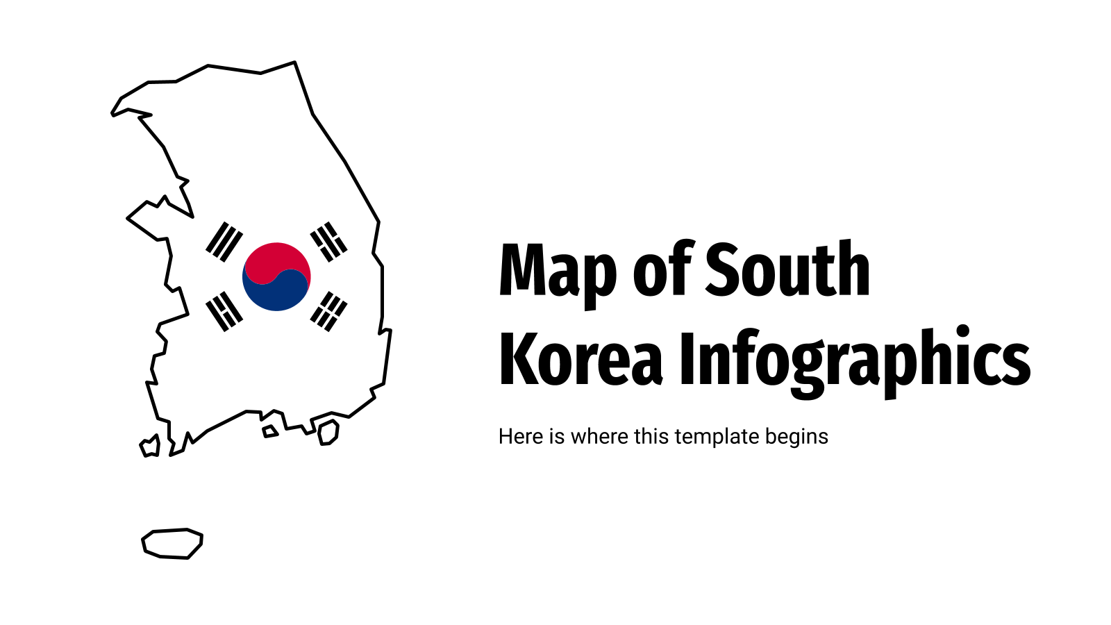
The Asian continent has a lot of beautiful places to visit, and these infographics put South Korea in the spotlight. With lots of maps of this country and different infographic resources, it'll be easy for you to talk about the Korean regions, geography, demographics or just provide some statistics or...

Ready to discover Sweden, one of the countries in Scandinavia? Get ready to edit our infographics with maps of this country and resources colored in blue and yellow (the colors of the Swedish flag!). There are some circle and pie charts also, just in case you need them for showing...

Download the Business Pitch Deck presentation for PowerPoint or Google Slides. Whether you're an entrepreneur looking for funding or a sales professional trying to close a deal, a great pitch deck can be the difference-maker that sets you apart from the competition. Let your talent shine out thanks to a...

Turn your data about Syria into a visually understandable format: an infographic! Our set contains around thirty maps of this country, some divided by region, and they contain other resources, such as text boxes, percentages and arrows to maximize the amount of information you can convey at a glance.

Do you know all the capital cities of Europe? All the flags of the Asian nations? The names of the oceans? A true fan of geography lessons, it seems! Get this new template and make the most of the editable infographics included. It's for, you guessed it, geography lessons, and...
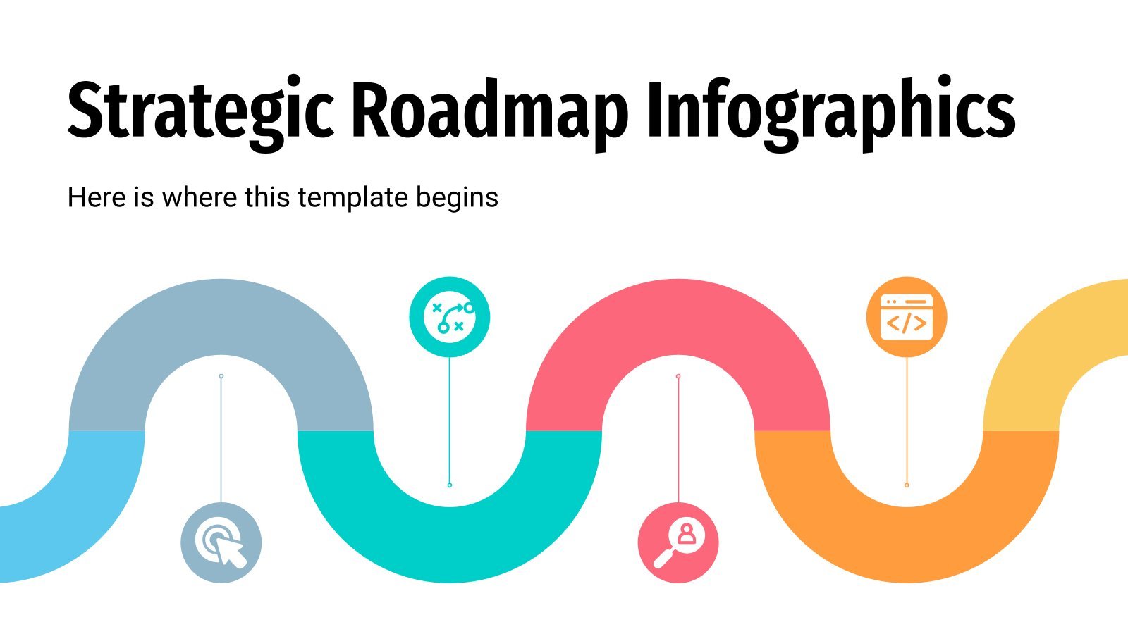
How far can your company go? We know that for you there are no limits and that your company is capable of surpassing everything it decides to do. This is great, but to organize all the goals you want to achieve, designing a strategic roadmap will be a great idea...

Got some data to show about Argentina and its demographics, regions, weather and so on? You can do it in a visual manner now with these infographic maps. The styles are, mostly, flat and fill, but there's a couple of three-dimensional maps, just to give more depth to the data......

Download the Russia Map Infographics template for PowerPoint or Google Slides and discover the power of infographics. An infographic resource gives you the ability to showcase your content in a more visual way, which will make it easier for your audience to understand your topic. Slidesgo infographics like this set...

Whether you are a geography teacher or you work in business, with this Map of Croatia Infographics template you can explain the data they need about the European country. It is flat and linear in style. Its graphics in different formats allow you to choose among different options to display...

We all know Russia for the cold weather and vodka. And the truth is that there is a lot to discover about this country, the largest of the world. These map infographics allow you to delve into Russian culture in a different and visual way. Its style is flat and...